
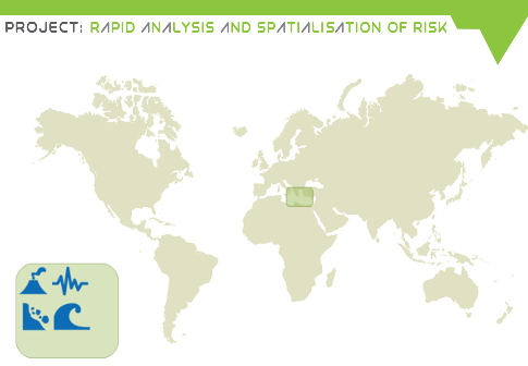
Santorini
Risks: Multi-risk site (volcano, earthquake, tsunami, landslide)
Importance: Major tourist destination (1.5 M during 2013), steady national and global interest for the volcano; volcanic complex have been showing signs of unrest for the first time in over half a century. Satellite data confirm that the islands have risen as much as 14 cm since January 2011. Island group has been inflating – slowly rising and moving outward – almost systematically around a point just north of the Kameni islands. Since April 2012 deformation is stable and aseismic.
Deliverables: multi-hazard risk assessment, potentially near-real time volcano response.
EO Data: SAR and Optical
End Users: GSCP – National Civil Protection, Santorini local authorities
Description
In the south Aegean Sea, the islands of the Santorini (Thera) volcanic complex have been showing signs of unrest for the first time in over half a century.
The whole island group has been inflating – slowly rising and moving outward – almost systematically around a point just north of the Kameni islands.
The Santorini volcano’s last major explosive eruption was about 3600 years ago. This event formed a large crater, or caldera, which is now flooded by the sea.
In this small island volcanic, seismic, tsunami and landslide hazards are present.
The Santorini case study is defined by taking into account some of the potential interactions among these hazards. A rock fall caused by an earthquake is assumed to impact into the caldera; this generates a tsunami, that potentially impacts on the touristic coastal area of the island. A tsunami propagation model has been implemented in the area, and applied in order to evaluate physical and economic impacts on the island.
A simplified approach for the tsunami source has been adopted by making a few assumptions on the wave shape, length and height of the tsunami approximately 60 seconds after the slide impact. The initial wave is supposed to be radially symmetrical from the source point specified. In this approach it is assumed that the tsunami wave can be treated as long wave.
To simulate the tsunami wave propagation in the waters in and around the Santorini caldera we apply Delft3D-FLOW, which is a hydrostatic non-linear shallow water solver that calculates non-steady flow and transport phenomena that result from tidal and meteorological forcing on a rectilinear or a curvilinear, boundary fitted grid. For RASOR, only the 2D functionality is used. The model area is about 50 by 60 km. A grid resolution of approximately 75 m is used.
Bathymetry information near the main islands has been obtained from the Greek Institute of Geodynamics. Missing data in this map near the Santorini coastline were filled with a minimum depth value of 20m and interpolated using the available data. Outside the area of data coverage, the existing data is interpolated towards the freely available global SRTM data.
The model was implemented into the RASOR platform. Through the RASOR web interface, the user can select an arbitrary landslide location and initial water perturbation.
Another section of the case study is focused on the earthquake risk in the city of Fira. A comparison between the results that can be obtained by the models embedded in RASOR and the application of the RiskEU index is provided.
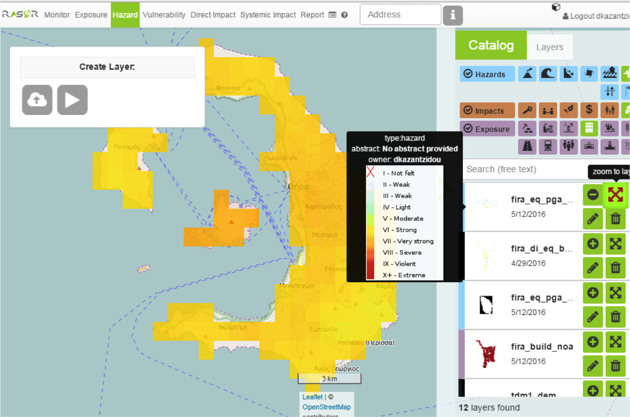
Simulation of an earthquake in Santorini based on the “shakemap” model embedded in the platform.

Comparison of results in terms of impact on the buildings obtained by the application of the RiskEU index and the RASOR model chain (city of Fira).
